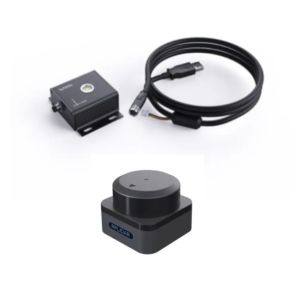
Description
- 1x Slamkit License Card (Developer Edition)
- 1x Slamkit License Software Slamware (Developer Edition)
- 1x Slamtec RPlidar S3 360° Laser Scanner (40 m)
Websites
RPlidar S3
- Accuracy: ±30 mm
- Resolution: 10 mm
- Sample Rate: 32 KHz
- Working Wavelength: 895 - 915 nm
- Laser Power: 25 W
- Pulse Length: 5 ns
- Scanning Frequency: Typ. 10 Hz, 10 ~ 20 Hz
- Angular Resolution: Typ. 0.1125°, 0.1125° ~ 0.225°
- Communication Interface: TTL, UART
- Communication Speed: 1M
- Scan Field Flatness: 0° - 1.5° (other angle requirements can be customized)
- Distance Range: White object: 0.05-40 m (under 70% reflection) | Black object: 0.05-15 m (under 10% reflection) | 0.05 - 5 m (under 2% reflection)
- Working Temperature Range: -10 - 50 °C
- Storage Temperature Range: -20 - 60 °C
- Laser Safety Class: Class 1
- Application Scenarios: Ideal for both outdoor and indoor environments with reliable resistance to daylight (≥80 Klux)
- Weight: 115 g
Slamkit
- Map Area: 150 x 150 m
- Map resolution: 1 cm
- Usage Time: 1.5h per cycle
- No Upgrade Service
- Real-time localization error typically within ±5 mm, ±1°
- Maximum distance range: 50 m (typical value)
- Empowers robots for over 2000 hours
- Utilized by over 30,000 enterprise units
- Deployed in over 1000 companies' projects
- More than 3000 cases handled
- High-precision map resolution of 1 cm
- Localization stability maintained with up to 50% map change
- Supports SharpEdge™ map optimization technology

